by core | Feb 13, 2023 | Uncategorized
You often hear land surveying mentioned during the establishment of boundaries in Canada, whether it be when selling a home or developing a property. Knowing where your legal property boundaries is very important for a variety of reasons and to several stakeholders.... 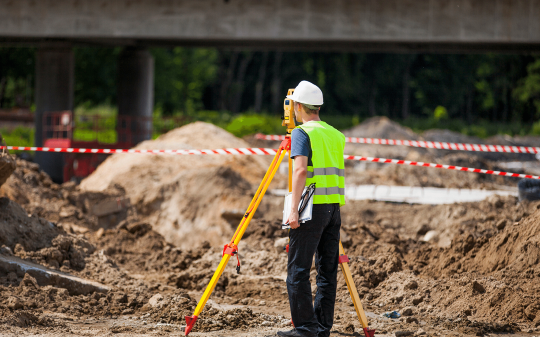
by core | Nov 10, 2022 | Land Survey
Obtaining professional land survey services is essential before land improvements can begin. Survey plans/deliverables will support and assist in the process.Depending on the land improvement, surveyors can optimize the deliverables needed. Land survey professionals... 
by core | Oct 7, 2022 | Land Survey
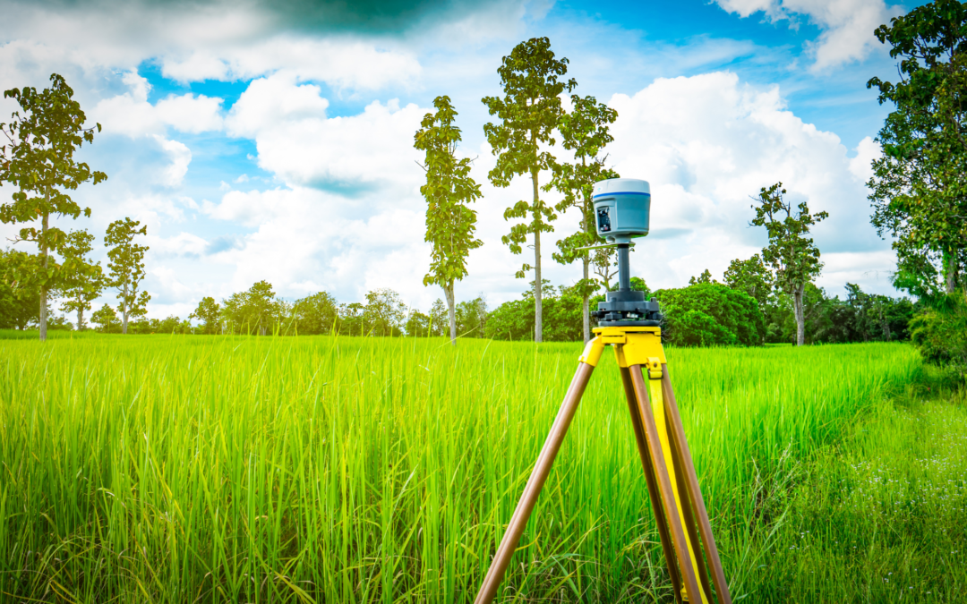
People call land surveyors for various reasons. Usually, surveyors come out to identify and locate boundaries, structures, and topographical features. You may also need these experts to secure a land purchase. What Tools do Land Surveyors use Today? Using various... 
by core | Sep 22, 2022 | Uncategorized
For thousands of years, there were not a lot of advancements in surveying; then, the computer age was born. Since the 1970s, survey technology has advanced rapidly, resulting in new tools, including GPS, Ground Penetrating Radar, Robotic Total Stations, Drones, and 3D... 
by core | Sep 21, 2022 | Uncategorized
Remote Sensing is a method that allows anyone to gather spatial data for a location or object without any direct physical contact. There are multiple examples of this, such as the sonar used by submarines, a satellite studying earth’s topography, or the radar gun used...