Remote Sensing
Contact Us for Quality Remote Sensing Solutions
- Home
- /
- Remote Sensing
Leveraging High-resolution Data
CORE Geomatics’s extensive experience with remote sensing technologies enables us to optimize a project’s efficiency and budget. From data collection, feature extraction, and change detection to cartographic production and geospatial modeling, our experienced staff can provide a variety of remote sensing solutions for your project.
CORE Geomatics uses industry-leading technologies to offer innovative remote sensing services to our clients. We utilize a combination of data collection, imagery/video analysis, and mapping services to generate accurate data and models tailored to your project’s requirements. So if you’re looking for technologies to optimize your project, our experts can help you out.
Our capabilities include UAV/Drone surveying, LiDAR, SONAR, photogrammetry, and GIS. Depending on your needs or requirements, we’ll help you plan and design your project to fit our technologies, so you can integrate them properly. We have safety protocols in place to avoid accidents and injuries on-site.
Our Remote Sensing Services
Why Choose Us?
At CORE Geomatics, we have a team specializing in geospatial analysis, modeling, cartography, so you can trust that your project is in good hands. We also have over a decade of experience handling remote sense technologies, so we can identify the best solutions to match your needs.

What We Do
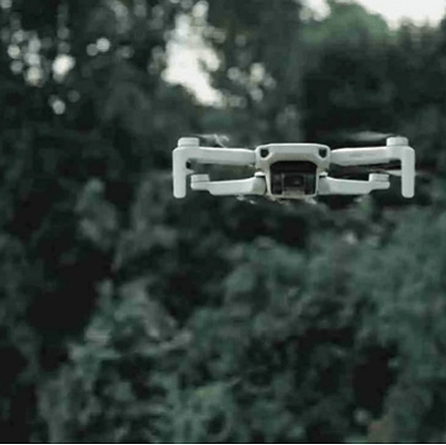
Drone UAV
Laser Scanning
At CORE Geomatics, we use laser scanning to create a digital representation of your site’s existing conditions and as-built components to generate highly..
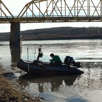
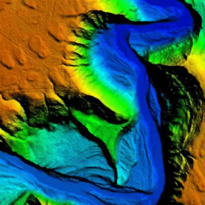
Bathymetry
CORE Geomatics is a leading provider of bathymetry services utilizing ORCA that integrates GPS, sonar, and pipe locating technologies into one tool to survey.
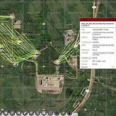
GIS
CORE Geomatics provides customized Geographic Information System (GIS) to clients across Western Canada.