by core | Feb 13, 2023 | Uncategorized
You often hear land surveying mentioned during the establishment of boundaries in Canada, whether it be when selling a home or developing a property. Knowing where your legal property boundaries is very important for a variety of reasons and to several stakeholders.... 
by core | Sep 22, 2022 | Uncategorized
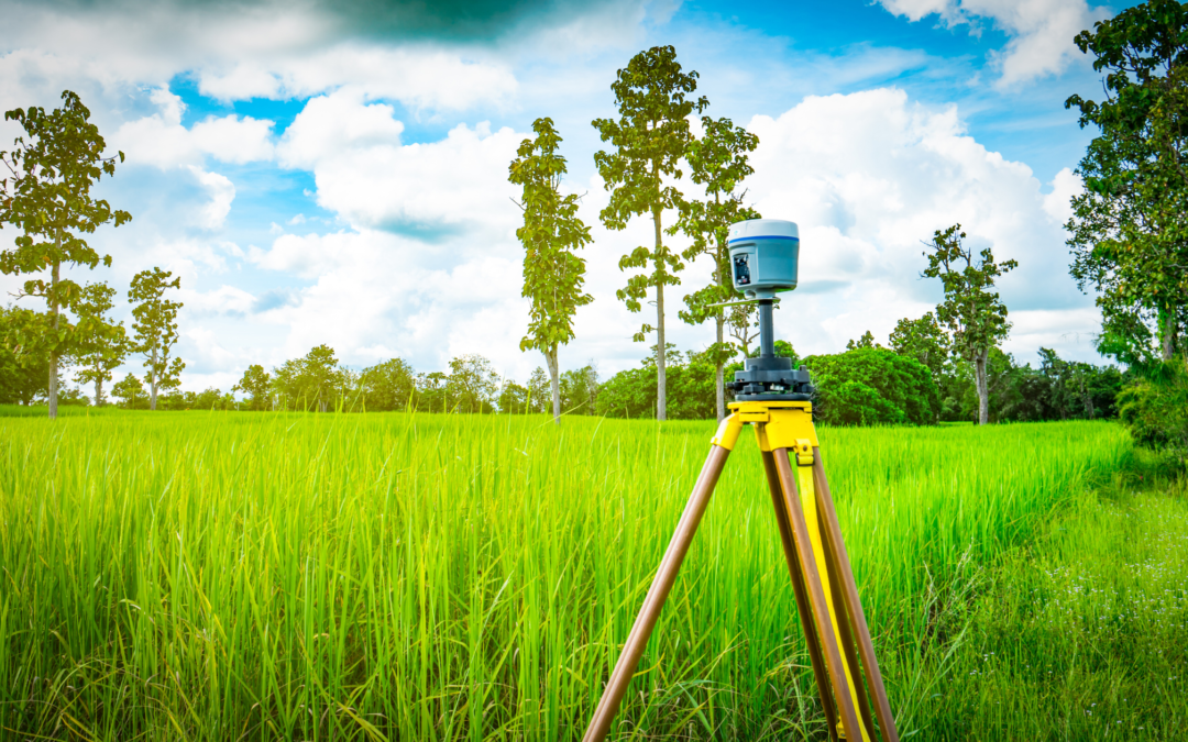
For thousands of years, there were not a lot of advancements in surveying; then, the computer age was born. Since the 1970s, survey technology has advanced rapidly, resulting in new tools, including GPS, Ground Penetrating Radar, Robotic Total Stations, Drones, and 3D... 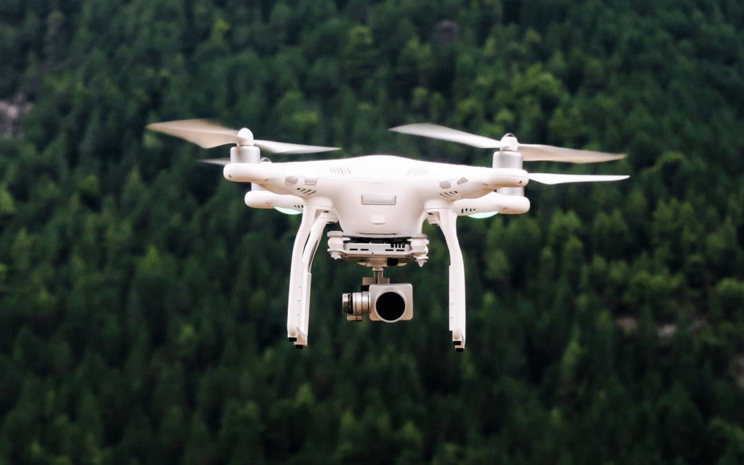
by core | Sep 21, 2022 | Uncategorized
Remote Sensing is a method that allows anyone to gather spatial data for a location or object without any direct physical contact. There are multiple examples of this, such as the sonar used by submarines, a satellite studying earth’s topography, or the radar gun used... 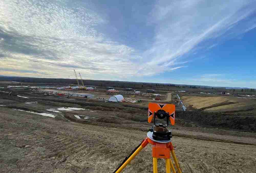
by core | Mar 24, 2022 | Core Geomatics, Land Survey, RPR Real Property Reports, Uncategorized
What Exactly is Land Surveying? When buying, selling, or developing land or property, it is important to work with professional land surveyors to review the land first. Land surveying is essentially a detailed review performed to map out the features and... 
by core | Mar 24, 2022 | Uncategorized
Land and property have long been worthwhile investment choices, but their hefty price tags make it critical that you think your decision through before purchasing any of them. Whether you plan to buy or sell property, you need to plan this carefully to avoid making...