Remote Sensing is a method that allows anyone to gather spatial data for a location or object without any direct physical contact. There are multiple examples of this, such as the sonar used by submarines, a satellite studying earth’s topography, or the radar gun used by law enforcers to determine the speed of the oncoming vehicle.
Perhaps the most common application of remote sensing data collection is using geographical information systems or GIS to map out things such as temperature changes in oceans, forest fire damage, and construction project progress, to name a few.
There are challenges with remote Sensing. The datasets can be very large, proper techniques must be used to collect and process the data, and the data needs to be presented in a simple-to-use platform.
Remote Sensing Slowly Replaces Manual Field Survey
Remote sensing technologies are beginning to supplement or even replace conventional survey methods in specific applications.However, it depends on several variables; what data needs to be collected, the terrain, weather conditions, obstructions, etc.
For example, if a lake bottom needs to be surveyed, a combination of sonar and GPS may be the best method of execution. Sonar is great for open water areas, and GPS may be the solution for shallow or weedy areas. These two data sets can then be processed and merged.
Remote Sensing Best Practices
Remote Sensing has several best practices worth emulating:
Remote Sensing vs. GIS
Remote Sensing involves gathering data about the earth’s surface using satellites, airplanes, drones, and scanners. GIS uses computer models to examine and presentgeographic information.
However, both tools need not be mutually exclusive, as you can use them to enhance the information within the dataset. For instance, adding metadata (i.e., socioeconomic information) to the gathered data within the GIS platform creates a more comprehensive digital model.
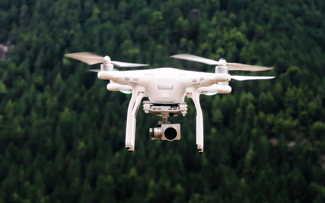
Remote Sensing using drones
You can classify drones as the third-gen platform for remote Sensing, following the first method pioneered by pilots who flew airplanes to map out a specific area. After that, early users started tapping satellites with modern cameras to supplant pilot-driven mapping. The new technology ensured even more expansive reach.
But drones address some lingering problems associated with early remote Sensing, particularly the cost of the endeavor and the delay in accessing the gathered data.
For example, an insurance company may use a drone to capture data about crop damage. Besides being cost-effective, the information can be gathered in a timely and non-invasive manner.
Remote Sensing going Forward
Remote Sensing changed the landscape for field surveys over the past two decades. By adding remote sensing technologies and tools, surveyors can provide more robust solutions to their clients.