Core Geomatics
  • Surveying
    • Real Property Reports
    • Land Development Surveys
    • Infrastructure & Transportation
    • Utilities Survey
    • Energy Survey
    • Pipeline & Pipeline Integrity
    • Renewable Energy
    • Mining Survey
    • Canada Lands
    • Bathymetry
  • Environmental
    • Environmental Planning
    • Natural Sciences
    • Construction Monitoring
    • Reclamation & Remediation
  • Remote Sensing
    • Drone UAV
    • Laser Scanning
    • Bathymetry
    • GIS
  • Land Use Planning and Development
  • Locations
    • Alberta
      • Calgary
      • Edmonton
      • Red Deer
      • Grande Prairie
      • St. Paul
      • Drumheller
    • BC
      • Vancouver
      • Victoria
      • Okanagan Valley
    • Saskatchewan
      • Regina
      • Saskatoon
  • Careers
  • Contact Us
    • About
    • Team
    • Safety
    • Partnerships & Affiliations
    • Blog
Select Page
How is Remote Sensing Used in Field Surveys?

How is Remote Sensing Used in Field Surveys?

by core | Sep 21, 2022 | Remote Sensing Field Surveys

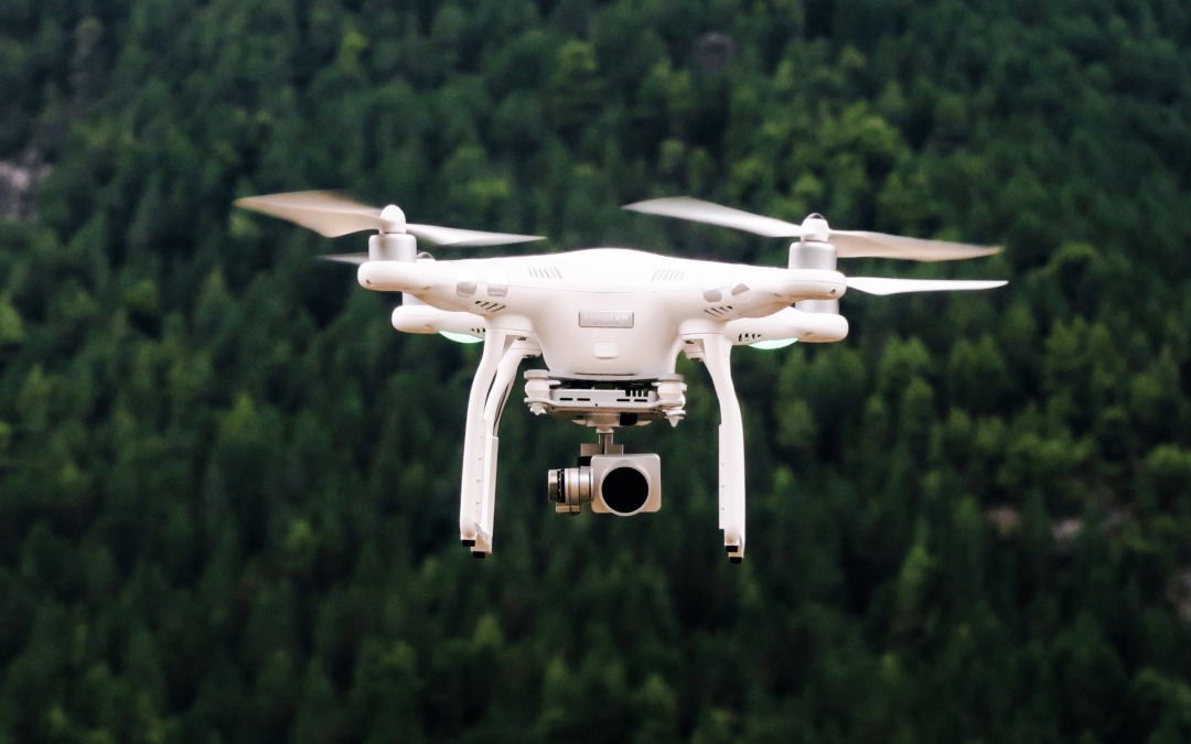
Remote Sensing is a method that allows anyone to gather spatial data for a location or object without any direct physical contact. There are multiple examples of this, such as the sonar used by submarines, a satellite studying earth’s topography, or the radar gun used...

Recent Posts

  • Kasyna online akceptujace kryptowaluty – przewodnik
  • Lorem Ipsum
  • How is Land Surveying Performed?
  • What Types of Surveys Are Conducted in Land Development?
  • What Is the Most Accurate Way to Survey Land?

Recent Comments

No comments to show.

About Us

Core Geomatics

Founded in 2009, CORE originated when four individuals came together to create a better company.

© 2024 CORE Geomatics.

QUICK LINKS

Privacy Policy & Terms
Careers

LOCATIONS

Calgary
Edmonton
Red Deer
Grande Prairie
Vancouver
Victoria
Okanagan Valley
Regina
Saskatoon
Drumheller


SOCIAL LINKS

  • Follow
  • Follow
  • Follow
  • Follow