Core Geomatics
  • Surveying
    • Real Property Reports
    • Land Development Surveys
    • Infrastructure & Transportation
    • Utilities Survey
    • Energy Survey
    • Pipeline & Pipeline Integrity
    • Renewable Energy
    • Mining Survey
    • Canada Lands
    • Bathymetry
  • Environmental
    • Environmental Planning
    • Natural Sciences
    • Construction Monitoring
    • Reclamation & Remediation
  • Remote Sensing
    • Drone UAV
    • Laser Scanning
    • Bathymetry
    • GIS
  • Land Use Planning and Development
  • Locations
    • Alberta
      • Calgary
      • Edmonton
      • Red Deer
      • Grande Prairie
      • St. Paul
      • Drumheller
    • BC
      • Vancouver
      • Victoria
      • Okanagan Valley
    • Saskatchewan
      • Regina
      • Saskatoon
  • Careers
  • Contact Us
    • About
    • Team
    • Safety
    • Partnerships & Affiliations
    • Blog
Select Page
What Exactly is Land Surveying?

What Exactly is Land Surveying?

by core | Mar 24, 2022 | Core Geomatics, Land Survey, RPR Real Property Reports

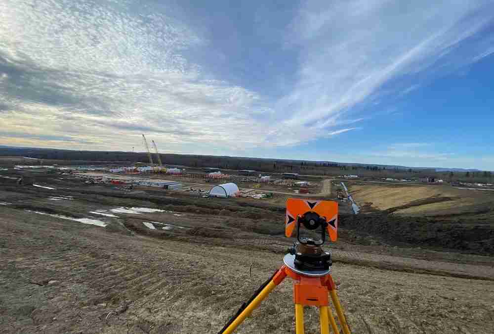
What Exactly is Land Surveying? When buying, selling, or developing land or property, it is important to work with professional land surveyors to review the land first.   Land surveying is essentially a detailed review performed to map out the features and...

Recent Posts

  • Kasyna online akceptujace kryptowaluty – przewodnik
  • Lorem Ipsum
  • How is Land Surveying Performed?
  • What Types of Surveys Are Conducted in Land Development?
  • What Is the Most Accurate Way to Survey Land?

Recent Comments

No comments to show.

About Us

Core Geomatics

Founded in 2009, CORE originated when four individuals came together to create a better company.

© 2024 CORE Geomatics.

QUICK LINKS

Privacy Policy & Terms
Careers

LOCATIONS

Calgary
Edmonton
Red Deer
Grande Prairie
Vancouver
Victoria
Okanagan Valley
Regina
Saskatoon
Drumheller


SOCIAL LINKS

  • Follow
  • Follow
  • Follow
  • Follow