Core Geomatics
  • Surveying
    • Real Property Reports
    • Land Development Surveyors
    • Construction Surveys
    • Infrastructure & Transportation
    • Utilities Survey
    • Energy Survey
    • Pipeline & Pipeline Integrity
    • Renewable Energy
    • Mining Survey
    • Canada Lands
  • Environmental
    • Environmental Planning
    • Natural Sciences
    • Construction Monitoring
    • Reclamation & Remediation
  • Remote Sensing
    • Drone UAV
    • Laser Scanning
    • Bathymetry
    • GIS
  • Locations
    • Alberta
      • Calgary
      • Edmonton
      • Red Deer
      • Grande Prairie
      • St. Paul, Alberta
    • BC
      • Vancouver
      • Victoria
      • Okanagan Valley
    • Saskatchewan
      • Regina
  • About
    • Team
    • Safety
    • Partnerships & Affiliations
    • Blog
  • Careers
  • Contact Us
Select Page
How do I get a Real Property Report in Alberta?

How do I get a Real Property Report in Alberta?

by core | Aug 8, 2022 | RPR Real Property Reports

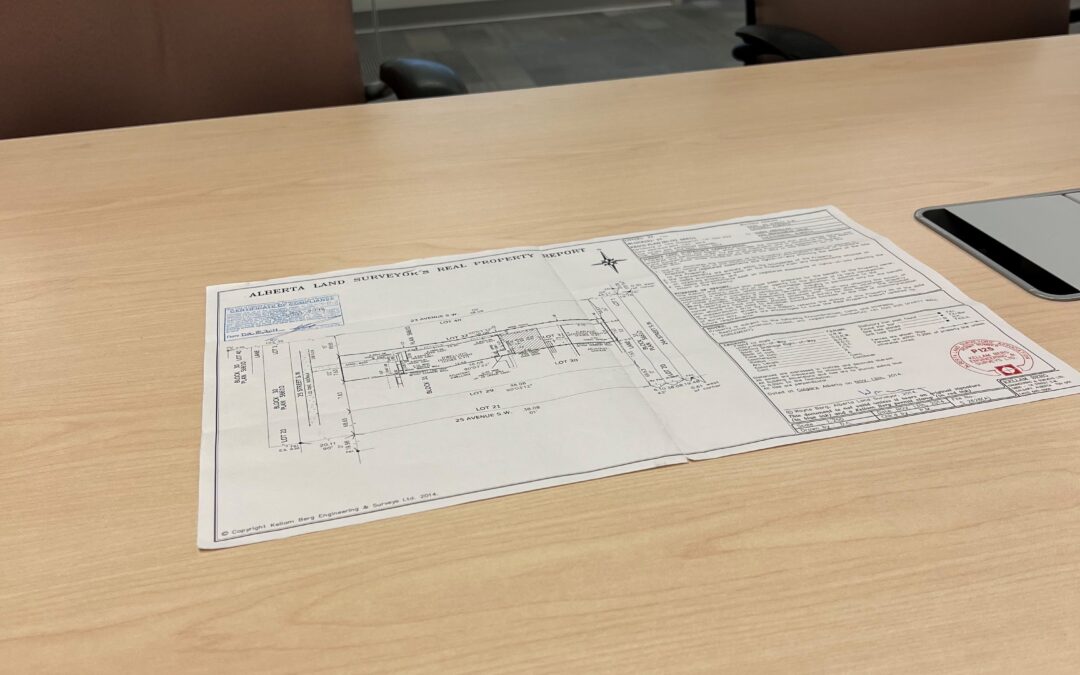
If you want to buy or sell a house or any property, you know that a lot of paperwork is involved, which can be overwhelming. When considering purchasing a new home, one of the most important things you need is a Real Property Report (RPR). Here’s everything you...
Who Pays for Land Surveys: Buyer or Seller?

Who Pays for Land Surveys: Buyer or Seller?

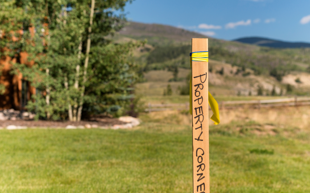
by core | Apr 25, 2022 | Land Survey, RPR Real Property Reports

Real property reports (RPRs) play a critical role in real estate transactions. If you’ve experienced buying a house before, you’re probably familiar with the standard home inspections that help you get a closer look at a specific property. However, aside from this,...
What Exactly is Land Surveying?

What Exactly is Land Surveying?

by core | Mar 24, 2022 | Core Geomatics, Land Survey, RPR Real Property Reports, Uncategorized

What Exactly is Land Surveying? When buying, selling, or developing land or property, it is important to work with professional land surveyors to review the land first.   Land surveying is essentially a detailed review performed to map out the features and...

Recent Posts

  • How is Land Surveying Performed?
  • What Types of Surveys Are Conducted in Land Development?
  • What Is the Most Accurate Way to Survey Land?
  • What is 3D Laser Scanning?
  • How is Remote Sensing Used in Field Surveys?

Recent Comments

No comments to show.

About Us

Core Geomatics

Founded in 2009, CORE originated when four individuals came together to create a better company.

© 2023 CORE Geomatics.

QUICK LINKS

Privacy Policy & Terms
Careers

LOCATIONS

Calgary
Edmonton
Red Deer
Grande Prairie
Vancouver
Victoria
Okanagan Valley
Regina

SOCIAL LINKS

  • Follow
  • Follow
  • Follow
  • Follow